attractions
Municipal boundary between Bauru and Agudos. (Divisa De Municípios Bauru / Agudos)

About this place
Discover Municipal boundary between Bauru and Agudos. (Divisa De Municípios Bauru / Agudos)
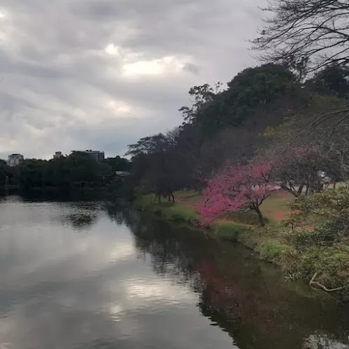
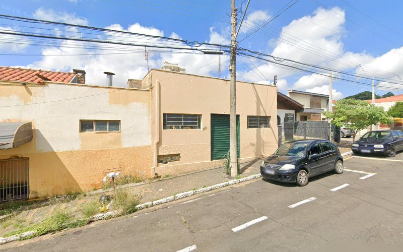
The boundary between Bauru and Agudos municipalities in São Paulo, Brazil, is delineated by the Rodovia Marechal Rondon (SP-300), a significant highway that serves as a vital artery connecting various cities in the region. This strategic location places the area at the crossroads of urban and rural landscapes, offering a unique blend of agricultural productivity and urban amenities.
Geographical Context
Situated approximately 330 kilometers northwest of São Paulo, the boundary area benefits from its proximity to Bauru, a city with a population of around 379,297. Bauru serves as a regional hub, providing residents and visitors with access to a wide array of services, cultural events, and economic opportunities. The area is characterized by a predominantly undulating terrain, with rolling hills and flat areas, contributing to its scenic beauty and suitability for various agricultural activities. The average elevation of the region is 526 meters, offering a favorable climate for both urban development and agriculture.
Historical Significance
The establishment of Agudos as a municipality in 1898 marked a significant development in the region's history. Prior to its separation from Lençóis Paulista, the area was part of a larger administrative unit. The creation of Agudos facilitated more localized governance and development, allowing for tailored policies and initiatives that addressed the unique needs of its residents. The region's rich history is also reflected in its role as a comarca (judicial district) since 1899, underscoring its importance in the administrative and legal framework of São Paulo. (smargiassi.com.br)
Economic Landscape
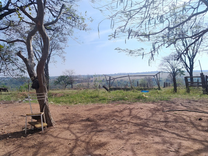
The boundary area is predominantly agricultural, with the fertile land supporting the cultivation of pineapples, sugar cane, cassava, corn, oranges, lemons, and tangerines. The presence of industries such as Duratex and Ambev in Agudos contributes to the local economy, providing employment opportunities and supporting the region's industrial sector. The cattle population in Agudos includes approximately 70,000 cows, 10,000 swines, and 300,000 chickens, highlighting the area's significance in livestock production. (en.wikipedia.org)
Cultural and Social Aspects
The region's cultural landscape is enriched by its diverse population, with a mix of ethnicities contributing to a vibrant community life. The proximity to Bauru enhances access to cultural events, educational institutions, and healthcare facilities, fostering a high quality of life for residents. The area is also known for its community events and festivals, which celebrate the rich cultural heritage of the region.
Transportation and Connectivity
The Rodovia Marechal Rondon (SP-300) plays a crucial role in the region's connectivity, facilitating transportation and trade between Bauru and Agudos. The presence of the Ferroban railway further enhances the area's logistical capabilities, supporting both passenger and freight movement. The region's infrastructure supports its economic activities and ensures that residents have access to essential services and amenities.
Environmental Considerations
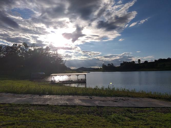
The Batalha River, originating in Agudos, is a significant tributary of the Tietê River, stretching 167 kilometers and supplying Bauru with water. This river plays a vital role in the region's water supply, supporting both agricultural and urban needs. The area's climate, classified as tropical highland, with an average temperature of 22.6°C, contributes to its suitability for various agricultural activities. The region's natural resources and favorable climate conditions make it an attractive area for both agriculture and urban development.
Future Prospects
Looking ahead, the boundary area between Bauru and Agudos is poised for continued growth and development. The ongoing expansion of infrastructure, coupled with the region's strategic location and economic potential, positions it as a key area for investment and development in São Paulo. The blend of urban amenities and agricultural productivity offers a unique living environment that appeals to a diverse population.
In conclusion, the boundary area between Bauru and Agudos is a dynamic region that seamlessly integrates urban development with agricultural productivity. Its rich history, economic significance, and cultural diversity contribute to its unique character and appeal. The strategic location along the Rodovia Marechal Rondon and the presence of the Batalha River underscore its importance in the broader context of São Paulo's development.
Location