About this place
Discover Ramila (رميلة)
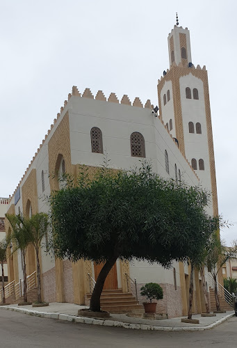
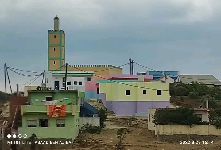
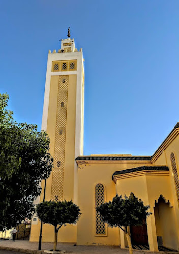
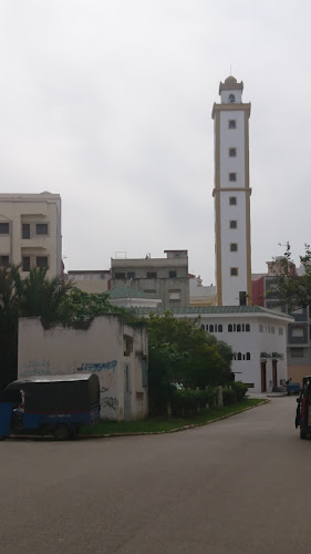
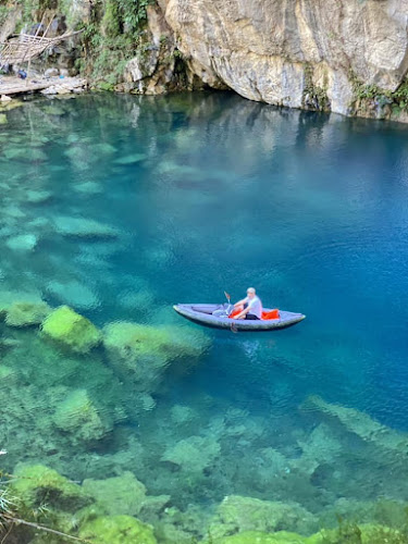
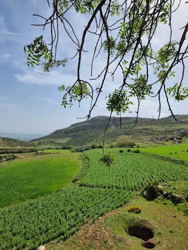
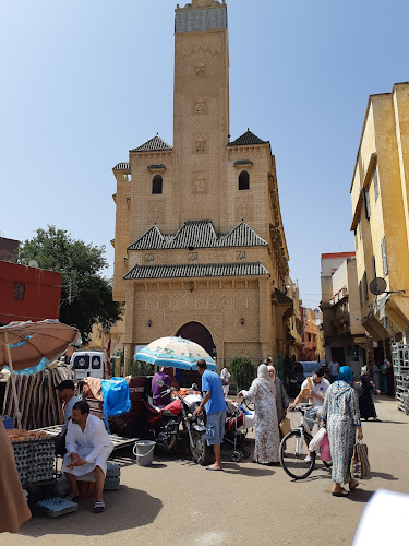
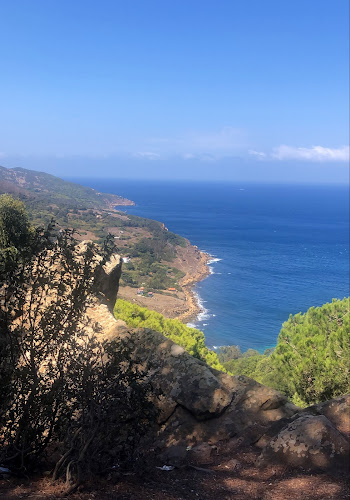
Rmila, Tangier. The town is situated on hills near the sea, on the banks of the Ouali River. It is bordered to the south by the towns of Alman and Jamila, to the east by the town of Wardania, and to the north by the town of Sbeline. It covers an area of approximately 544 hectares and is about 80 meters above sea level. The town's name originates from its natural setting and sandy beach, believed to derive from the Syriac word "Armila," meaning "shore." It was also known in Greek as "Palatamos." Archaeological discoveries indicate human settlement in the area since ancient times. In 1863, Ernest Renan discovered the ruins of an ancient city near the modern church, where he found Egyptian-style carved stones and fragments of sarcophagi from various periods. Pottery fragments, glassware, and coins were also found on the adjacent sandy beach. The town boasts several archaeological and religious sites, such as the shrine of Sharhabil ibn Hasana, believed to be that of the revered companion of the Prophet and military commander who participated in the conquest of Sidon. The remains of the old town can be found on a hill adjacent to the modern church, in addition to rock-cut tombs scattered throughout the town and its surrounding areas. Agriculture is a major economic activity, with fruits and vegetables being grown. The main crops are olives, olive oil, citrus fruits, bananas, and guavas. The town has a population of approximately 4,095 and is a historical and religious tourist destination, attracting visitors who come to explore its archaeological and religious sites and enjoy its natural beauty.
Location